Mapping Iceland is the website of Reynir Grétarsson who has collected, and is now sharing, historical printed maps of Iceland from the earliest times of settlement up to 1850.

There are many maps in the collection, some particularly beautiful ones. It's interesting to see how the representation of Iceland has changed, and how place names have also slowly changed towards their present day ones. Some of these maps are beautiful works of art, such as this one, from 1607, which I've shared a strip from... Lovely volcano imagery and speckled sea surface.

For other mapping options, try STAMEN maps.
There is the watercolour option - click for the larger version...

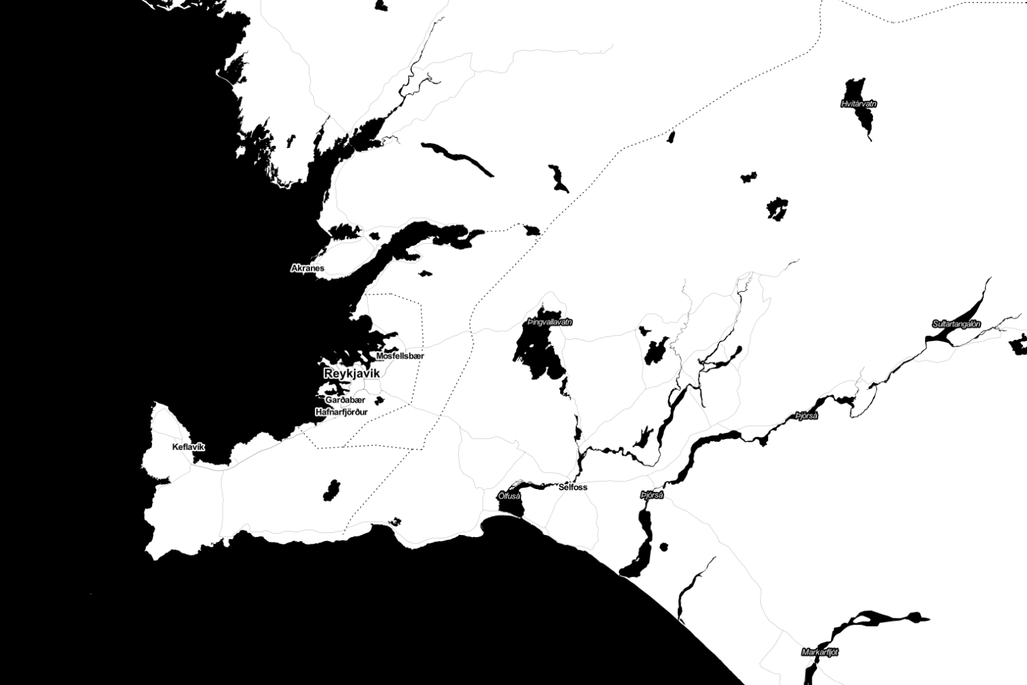
And the toner option - click for the larger version again
And finally, here's the answer to the picture quiz yesterday.
It seems from the 'Saga Land' book that I am reading that the word Björk means (or perhaps meant) 'silver birch' in Icelandic. The spirit is made with birch sap, the cover is from one of Bjork's albums - always visually fascinating - and the bottom picture is some silver birch bark.
Visitors will notice very few trees in Iceland.
One of the places with trees that I visited before with students is a wood of mostly silver birch trees, along the coast from Hveragerdi, where we stopped for a lunch stop on a previous visit.
This blog post provides details on the location of some of Iceland's woods, including the forested land around the Perlan Observatory.

There are many maps in the collection, some particularly beautiful ones. It's interesting to see how the representation of Iceland has changed, and how place names have also slowly changed towards their present day ones. Some of these maps are beautiful works of art, such as this one, from 1607, which I've shared a strip from... Lovely volcano imagery and speckled sea surface.

For other mapping options, try STAMEN maps.
There is the watercolour option - click for the larger version...
And the toner option - click for the larger version again
And finally, here's the answer to the picture quiz yesterday.
It seems from the 'Saga Land' book that I am reading that the word Björk means (or perhaps meant) 'silver birch' in Icelandic. The spirit is made with birch sap, the cover is from one of Bjork's albums - always visually fascinating - and the bottom picture is some silver birch bark.
Visitors will notice very few trees in Iceland.
One of the places with trees that I visited before with students is a wood of mostly silver birch trees, along the coast from Hveragerdi, where we stopped for a lunch stop on a previous visit.
This blog post provides details on the location of some of Iceland's woods, including the forested land around the Perlan Observatory.
Comments
Post a Comment